
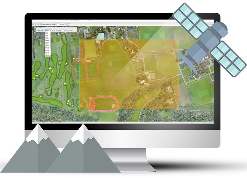
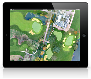
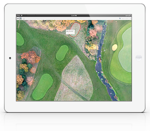
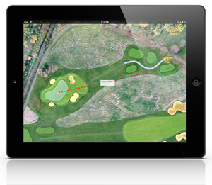
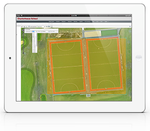
Ground2Control GIS is an online browser which enables you to view your entire facility any time, day or night, on your PC, tablet or phone.
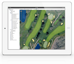
Layers of information can identify key areas, services, chemical treatments, safety features, circulation routes, planned changes or improvements and historical data.
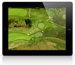
Seamlessly link GIS to our Resource Management tools to provide accurate areas for chemical applications, crop production, seeding and turfing and maintenance costs.
"It is great to be able to see and measure any part of our entire facility from the comfort of my desk. This easy to use online system also means we can give other people permission to access our course information from other locations."
Cog Hill Golf and Country Club
"The GIS information enables us to measure any part of our course easily and accurately, essential for planning and costing new projects."
Royal Wimbledon GC
"Having accurate area information for our greens, tees and fairways means we can now control our chemical applications more accurately and this has helped us to significantly reduce waste and cost."
Carr Golf Services
Copyright © 2016 - Ground2Control. All Rights Reserved.